Grape-growing conditions for the 2015 vintage throughout the Pacific Northwest wine region remain drier and warmer than average, according to internationally renowned climatologist Greg Jones.
Jones, an environmental science professor at Southern Oregon University in Ashland, issued his latest report Sunday.
“Precipitation for April continued the overall dry conditions carrying over from the winter,” Jones wrote to recipients of his industry newsletter. “The majority of the PNW and into the northern Rockies were below normal to much below normal for the month of April. Northern and Southern California continued dry during April, while the central portion of the state and into north central Nevada was near normal to above normal.”
There is particularly good news in the two weeks for grape growers and home gardeners, as Jones shared there is “no risk of frost in any models over the two-week period.”
And the long-term forecast from the National Oceanic and Atmospheric Administration through July indicates those conditions are expected to continue, leading to a potentially historically dry and warm late spring and early summer along the West Coast.
“The U.S. Drought Monitor and others are forecasting severe drought in California will continue and likely worsen this summer and that the drought conditions are forecast to expand northward at full force into the Pacific Northwest, especially east of the Cascades,” Jones wrote. “Discussions on El Niño conditions continue to center on a mild event occurring in early fall and into winter. If this does materialize, historical conditions would point to some rainfall relief for California and the desert southwest, but drier conditions are likely to continue into the PNW, western Canada and Alaska.”
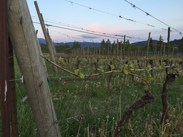
In the vineyards, growth patterns are running similar to the past couple of vintages.
“To date, in 2015 growing degree-days are higher than normal over all of California, Oregon, and Washington with April accumulations running between the last two warm years — 2013 and 2014,” Jones wrote to members of his industry newsletter.
Walla Walla Valley registers warm start to spring
The Walla Walla Valley is trending warmer than last year’s hot vintage of 2014. Jones’ research station in Milton-Freewater, Ore., recorded 121 cumulative growing-degree days through April 30 compared with last year’s 101 GDD at the same date.
However, vine and bud damage in the Walla Walla Valley stemming from the November 2014 arctic blast will force many of the region’s winemakers to look beyond their valley for fruit.
“Ultimately, a warmer second half of April resulted in temperatures being mixed over Oregon and Washington with most regions falling into ± 1.5°of normal while the majority of California was much above normal,” wrote Jones, director of SOU’s Division of Business, Communication and the Environment.
McMinnville’s data, which serves as a gauge for Oregon’s Willamette Valley and Pinot Noir producers, shows 72 GDD. That trails last year’s April 30 recording of 83.
Southern Oregon heat units off 2014 pace
In the Umpqua Valley city of Roseburg, the station calculated 127 growing-degree days, which is well-above the 1981-2010 average of 85, but it lags behind the 2014 figure of 170. The trend is similar in Medford, which began May with 146 GDD compared with last year’s 200 and the 1981-2010 average of 74 GDD.
“After a run of five months of extreme record warmth over the western United States (2-8°F above normal), a cool late March led into an equally cool early April that brought conditions back to near normal,” Jones wrote. “The cooler conditions during the last week of March and first two weeks of April slowed growth down in some areas, but also brought increased frost/freeze pressure over many nights.”
Northwest wine industry faces continued drought
Weather patterns along the West Coast are unlikely to change until conditions in the Pacific Ocean transition.
“While the persistent ridge pattern over the west broke down for a few weeks in late March into mid-April allowing some spring rains into the western U.S., most forecasting agencies are pointing to continued ridging over the west,” Jones wrote. “These conditions are likely to continue due to warm sea surface temperatures in the North Pacific, called the ‘blob’ by many in the media in the last couple of months.”
Jones also included short-term and medium-range West Coast forecasts:
6-10 days: Slight cool down into next week with increasing chance for rain into the middle of the week. However, overall there is a greater likelihood of warmer-than-normal temperatures over most the western valleys with a greater likelihood of below normal rainfall over the PNW but normal conditions south into California.
8-14 days: Trending similar to the 6-10 day, but greater chance of warmer- and drier-than-normal conditions. No risk of frost in any models over the two-week period.
30 days: Seasonal outlook for May reflects expected warmer-than-normal overall conditions and near normal precipitation (greater chance south, lower chance north). But recall that May is typically not that wet to begin with.
Mcminnville is cooler by many degrees than the hills and the south fork of the Yamhill river. Mcminville has been two weeks behind vineyards in the Eola hills.
I have Vineyards from 300 to 800 Ngvd. This year the higher they were the earlier bud break and 9 in shoots. A vineyards relative position of Vanduzer Corridor winds and heat from the City of Portland make Mcminnville the least typical of Yamhill and Willamette Valley vineyards. There is a weather station at about 750 ft. NVGD just above Amity I think you would be astounded by the Data.