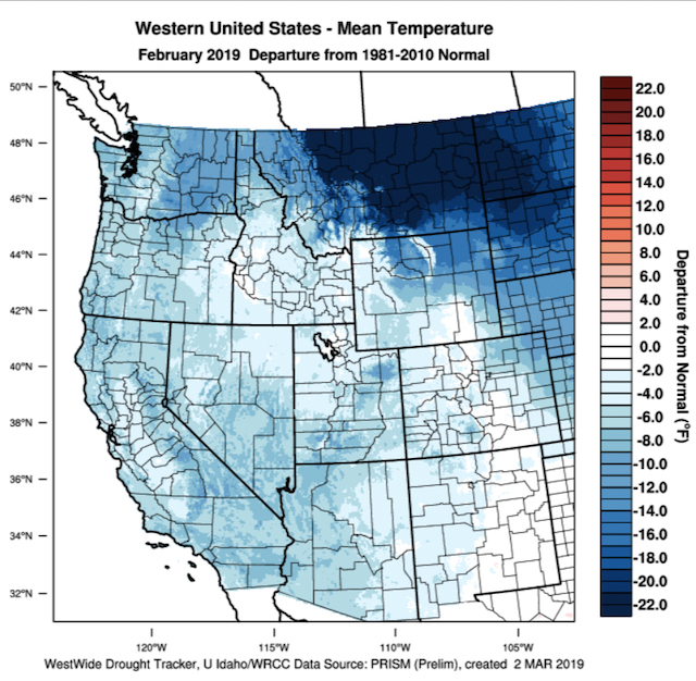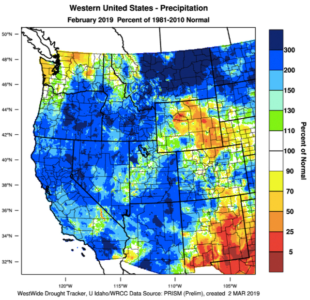
The Western U.S. February 2019 temperature departure from normal. (WestWide Drought Tracker, Western Region Climate Center; University of Idaho)
Spring is just around the corner but with several inches of snow in the forecast, the heart of Washington wine country won’t be generating any growing degree days this week.
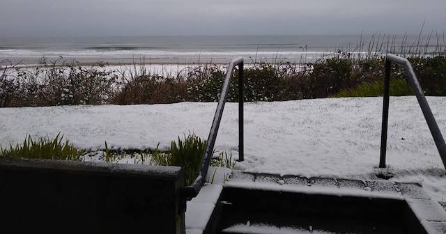
And February went into the record books for snow and cold in the Columbia Valley with 23 inches recorded in Kennewick. This month has started off frigid, too, with a record-low of 8 degree Fahrenheit on Monday. According to the Tri-City Herald, the previous low on that date was 14 set in 1896 – more than a century ago
“I know it is hard to believe, but regardless of how cold it has been, temperatures forecast for March through May continue the odds toward a warmer-than-average western U.S., while precipitation is forecast to be near average,” climate expert Greg Jones wrote in his March 2019 Report on behalf of Linfield College in McMinnville, Ore.
Jones, director of the school’s Evenstad Center for Wine Education/Evenstad Chair in Wine Studies, said the forecast calls for colder-than-average temperatures for the Pacific Northwest during the next seven to 10 days while California will continue to receive precipitation thanks to moisture from the tropics.
“With cold air in place over the West, precipitation events have helped bring the majority western U.S. snowpacks to above average and lowered or completely removed drought conditions in many areas,” he noted.
A February to fill some reservoirs

“Can one month make a winter? The answer appears to be yes for February 2019!” Jones wrote. “After a very mild first half of winter, conditions flipped dramatically in late January. It started with a shift in very cold air (the polar vortex) into the eastern U.S. while the West was forecast to see a ridge build and stay mild
“However, the polar air pushed farther south and west than most anticipated and stayed entrenched for the entire month of February,” he continued. “While the cold air was continuing to push out over the U.S., a persistent Alaskan blocking flow, plus a split flow in the circulation over the Pacific allowed for substantial moisture to move over the colder air – dumping unreal amounts of snow in California and returning snowpacks to above normal over most of the western U.S.!”
Jones pointed out that the Arctic, much of Siberia and Europe has been considerably warmer than average. Meanwhile, temperatures were as much as 12 degrees below normal in sections of the West Coast.
Drought fears reduced in Oregon

Snowpack levels throughout much of the West are between 100 and 150 percent of normal, and California as seen relief from its drought, “the lowest it has been in nearly 10 years,” Jones wrote.
However, concerns remain in Oregon, particularly in the Cascades and east toward the border with Idaho.
“In spite of recent increases in snowpack in Oregon, the forecast continues to exhibit concern for long-term persistent drought in portions of Oregon,” Jones wrote.
Outlook warm for start to 2019 vintage

During January, Jones noted that “El Niño appears to be a wimp.” In the background, meanwhile, warmer than average sea surface temperatures got whipped up and the weather patterns funneled that precipitation into California.
“If the El Niño conditions continue to hold to weak, the weather across the western U.S. will still likely continue to follow the slightly warmer and drier than average conditions in the 90-day forecast,” Jones wrote with a particular emphasis on the Pacific Northwest
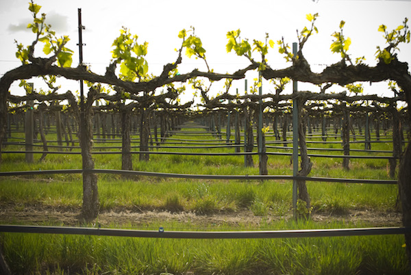
And that pattern would indicate another warmer-than-average 2019 vintage. For many researchers, the accumulation of growing degree days doesn’t start until April 1. The base temperature for grapes is 50 degrees Fahrenheit. At this point, the forecast for the Columbia Valley isn’t for the temperature to reach that level until after March 19.
“In spite of the colder conditions forecast for the majority of the U.S. in March, the 90-day forecast shows the likelihood of a warmer than average western U.S., especially in the PNW,” Jones wrote.

Leave a Reply